Address
304 North Cardinal St.
Dorchester Center, MA 02124
Work Hours
Monday to Friday: 7AM - 7PM
Weekend: 10AM - 5PM

Address
304 North Cardinal St.
Dorchester Center, MA 02124
Work Hours
Monday to Friday: 7AM - 7PM
Weekend: 10AM - 5PM


Accurate data. Reliable insights. Better decisions.
Monitor project progress through periodic surveys, ensuring accurate records, quality control and objective documentation at every stage.
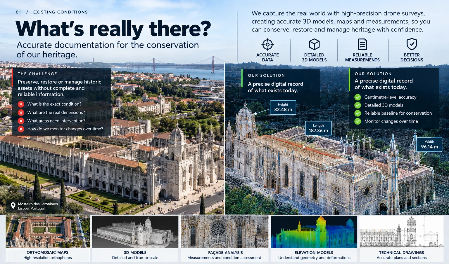
High-resolution orthophotos, 3D models and point clouds generated from aerial surveys for accurate analysis and documentation.
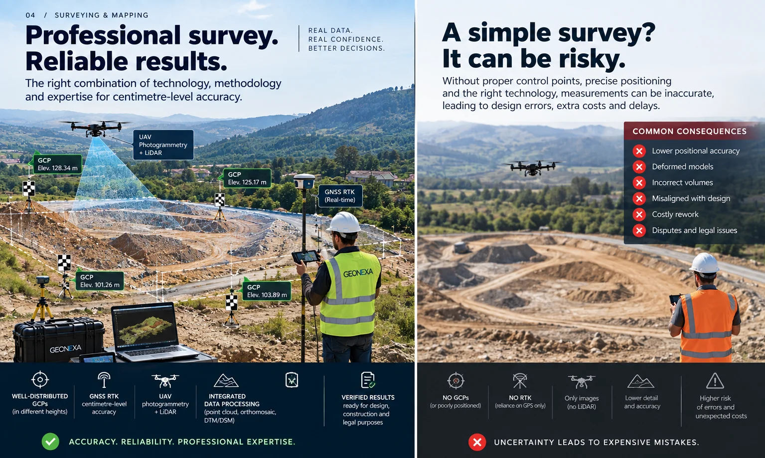
High-precision topographic surveys for engineering, infrastructure and land development projects.
Transform field data into reliable digital terrain models and geospatial information that supports better technical and business decisions.
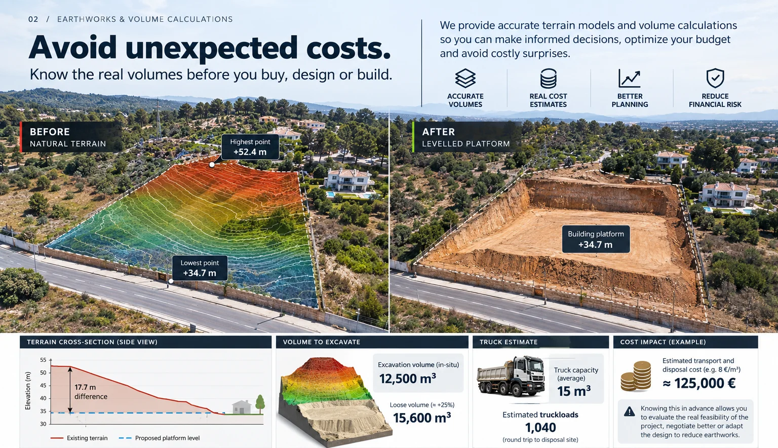
Reliable calculations of excavation, embankment and stockpile volumes, helping optimise planning, control costs and reduce uncertainty.
Inspect roofs, façades, infrastructures and hard-to-reach assets safely, reducing risks, downtime and operational costs.
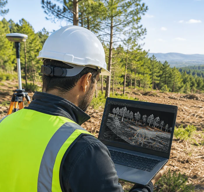
Every successful project starts with reliable information. From surveying and aerial mapping to inspections and digital terrain modelling, GEODEXA provides the geospatial intelligence companies need to reduce uncertainty, accelerate decisions and keep projects moving from day one.
Reduce days of fieldwork to hours with accurate geospatial data, allowing projects to move forward without unnecessary delays.
Every survey is based on precise measurements and repeatable methodologies, giving you data you can trust for critical decisions.
Inspect complex or hazardous environments safely, minimise site disruption and reduce operational uncertainty.